22.05.2023
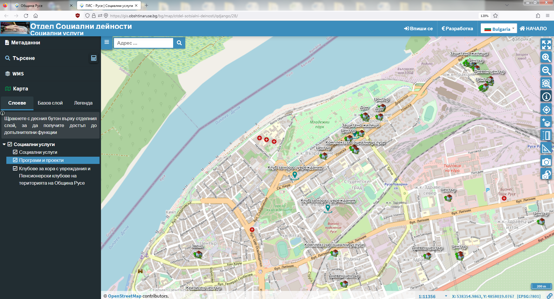
The first 8 thematic maps, part of the geographic information system of the Municipality of Ruse, are now available to citizens.
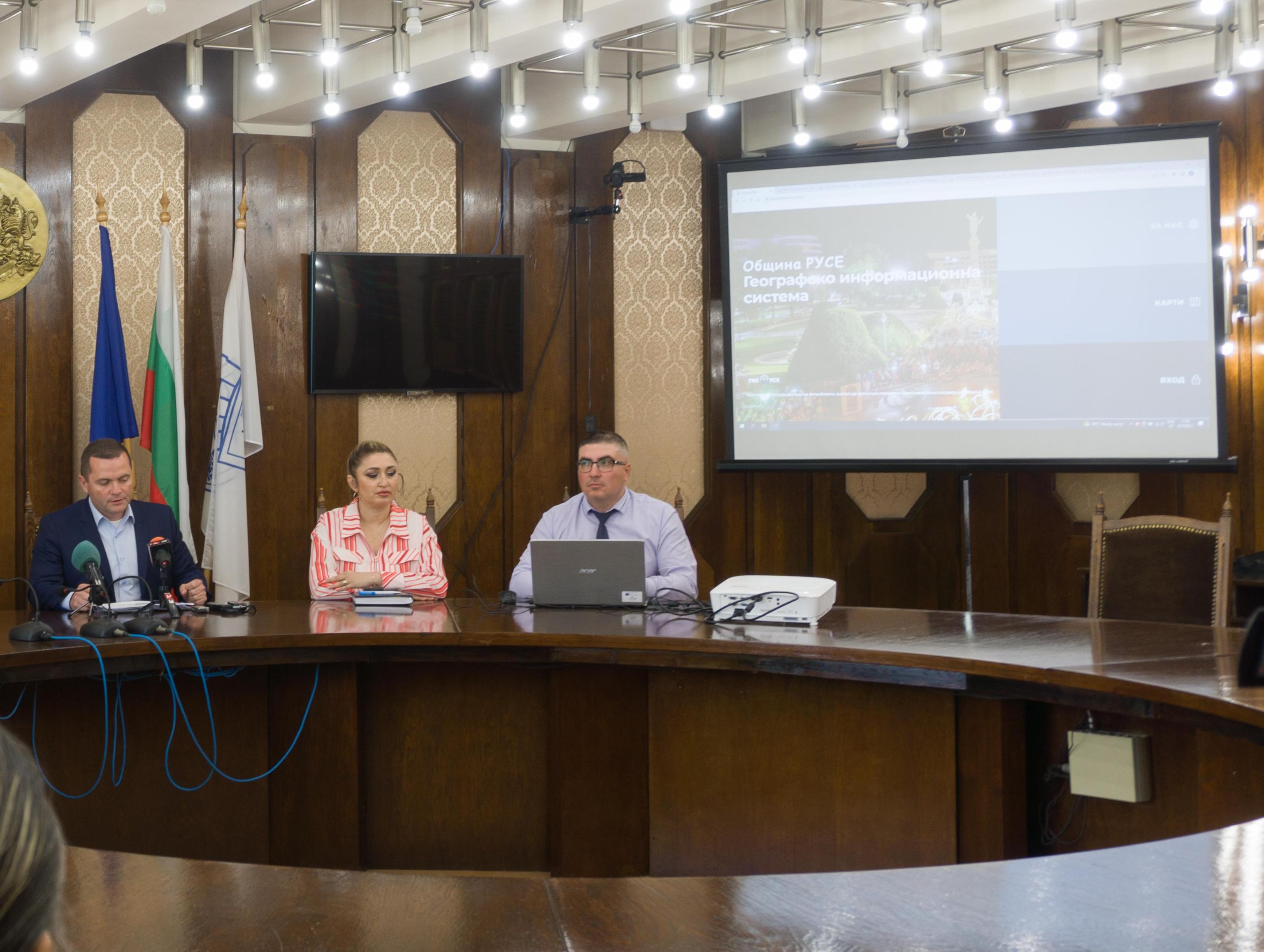
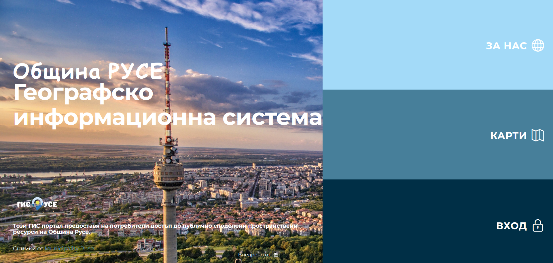
The creation of the electronic portal, full of spatial information about the various municipal activities, was initiated by the mayor Pencho Milkov, with the main goal being that residents of Ruse can quickly access up-to-date information about their city.
"When I took office, I found a book kingdom in the Municipality. The information must be absolutely accessible to everyone, that's why we started a long process of filling the geographic information system of Ruse with content. This will improve citizens' awareness and save resources and time, because with it, everyone can make inquiries completely free of charge in real time on the issues that interest them," said the mayor.
He emphasized that the system is constantly being developed and updated, and he hopes that citizens will get used to using it, as well as give their suggestions for its improvement.
The construction of the architecture of the GIS portal takes a year and is carried out by specialists who have worked on some of the best geographic information systems in the country. The funds for its construction also come entirely from the municipal budget.
At the moment, Russians can view maps containing useful data on:
- social services;
- medical institutions, crèches and children's kitchen points;
- schools and kindergartens;
- approved applicants under the LIFE program for replacement of old heating stoves with new ones;
- taxi stands;
- the bike lanes;
- electronic information boards located on the territory of the municipality.
In addition to this, those interested can examine in detail the created "Environmental Cadastre", describing the industrial enterprises and the compounds they use and release during their activities in the various industrial zones of Ruse.
The information in the maps is filled in by the municipal employees, as
plans for the next public layers to contain data on the city's mapped trees, various waste receptacles, cultural institutions, and more. The most labor-intensive is the layer with municipal property, including an extremely large number of objects for which detailed information should be applied.
In addition to more new maps, the long-term plan also envisages the implementation of an application with which citizens can send real-time spatially referenced signals for maintenance and accidents in their surroundings. This would shorten the response time of the municipal administration and its employees to resolve cases such as an open shaft, a broken garbage can, etc.
For proposals, opinions and the need for technical assistance - gis@obshtinarus.bg
INVESTMENT PROFILE
OF RUSE MUNICIPALITY
Promotional video "Ruse - Port of
new opportunities"
